

Founded on science. Powered by communities.
We map seagrass from satellite embeddings, region by region. Help us check the maps: tell us where the model layers are right, and where they're wrong.
Bimini Caribbean · Bahamas
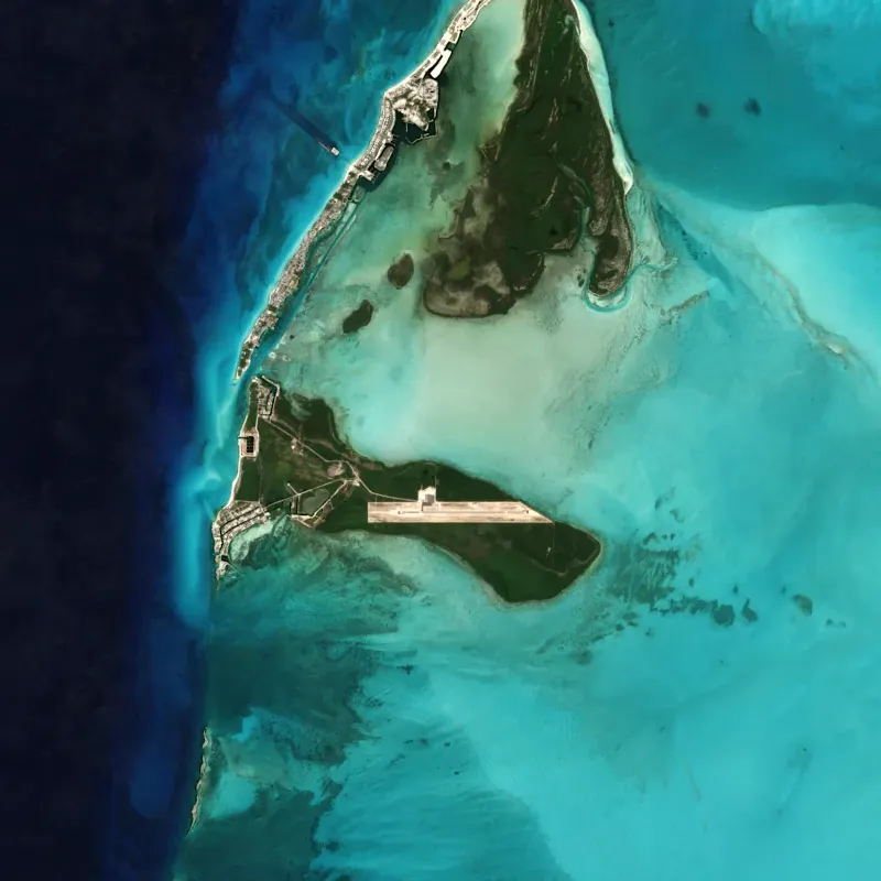
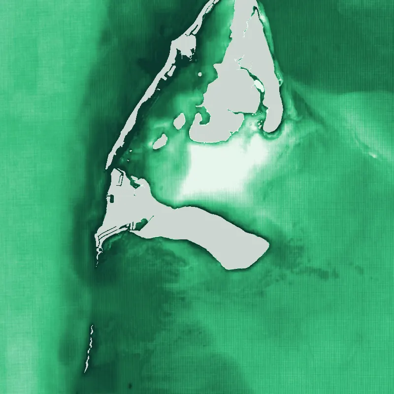
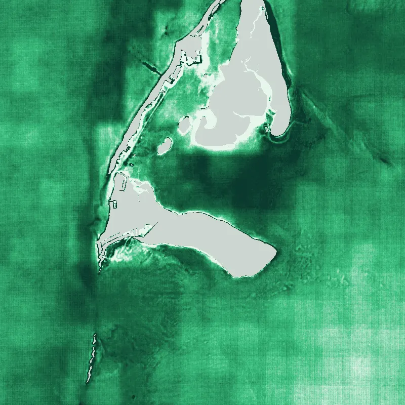
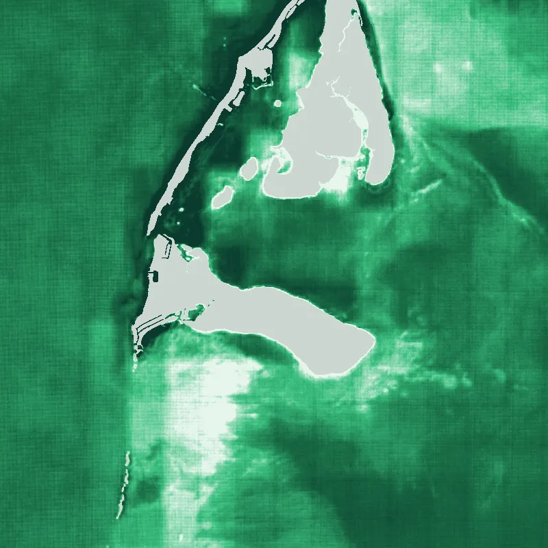
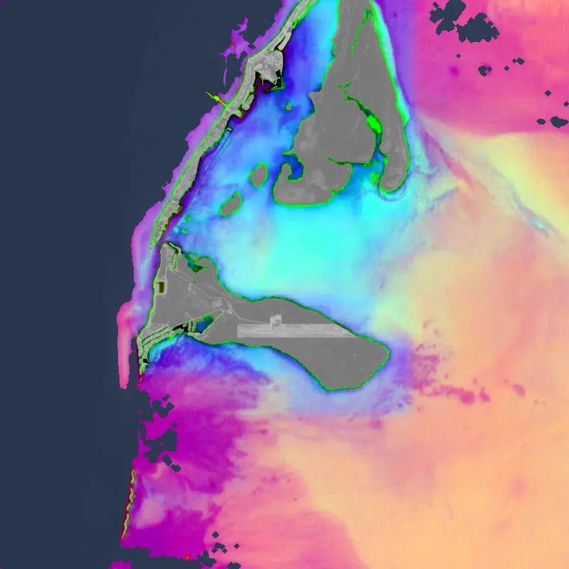
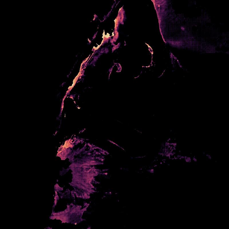
- Seagrass probability
- Training points present · absent
- AlphaEarth embedding64 dimensions per pixel
- Sentinel-2 imagery2025 composite, 10 m
- Seagrass probability
- Training points present · absent
- AlphaEarth embedding64 dimensions per pixel
- Sentinel-2 imagery2025 composite, 10 m
Partners
A collaboration between



With support from

How feedback works
- 1
Pick a region
Open a region and switch its layers on and off:
- Seagrass extent: composite, ratios & AlphaEarth
- Comparison: with water depth (not for feedback)
- Training points
- Jamaica seagrass, 2025
- Bathymetry (GEBCO 2024)
- Sentinel-2 2025 composite (model input)
- 2
Mark what you see
Mark a point or an area where a layer is right or wrong, or leave a note on the whole region.
- 3
We review it
Our team reviews every note.
Members see only their own feedback. Reviewers see everyone's, with names and emails.
Four focus regions
While seagrass decline is a global issue, we're focusing on four strategic regions where we can push the science forward fastest. Insights from these places will power mapping tools that work across coastlines everywhere.


Provide feedback
The maps get better with local knowledge. Review the layers for a region you know, and tell us where they're right and wrong.
Review the layersTo contribute data, explore a collaboration or stay in touch, visit seagrassblueprint.org.